New Zealand from above: Nearmap launches ‘aerial-imagery-as-a-service’ biz in local market

Traditionally the domain of governments and large enterprises, aerial imagery is coming to the masses as Nearmap launches in New Zealand, bringing its high res imagery-as-a-service model to Kiwi businesses.
.jpg)
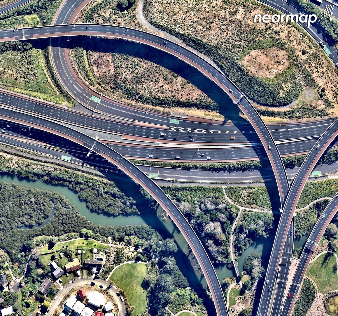
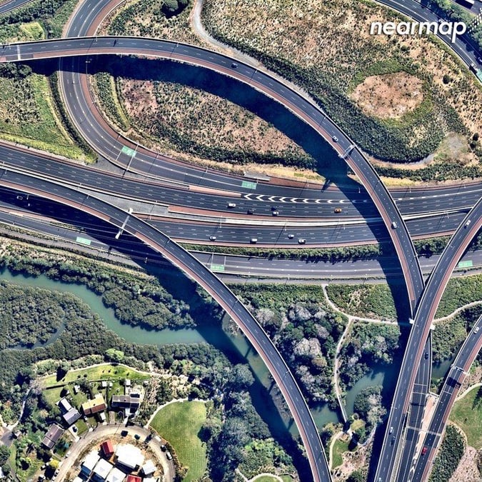
Waterview Connection Motorway, Auckland.
The Australian-based company takes very high resolution wide-scale images of urban areas via a patented camera system fitted to lightweight aircrafts, stitches said images together into seamless digital maps and then publishes that data to the cloud.
Nearmap CFO Andy Watt says the time is right to launch in New Zealand.

Lake Wakatipu, Kelvin Heights, Queenstown
“We’ve been talking to New Zealand businesses about their needs and we’ve learned that there’s just nothing like us in the Kiwi market,” he says. “Based on that demand, we decided it’s a good time to launch, so we’re very excited.”

Hobsonville, Auckland,
“We’ve been in Australia for ten years, in the US for four years, so New Zealand represents our third major geography, so we see it as a very good opportunity to us. This is a significant milestone for Nearmap.”
The company first flew over New Zealand in the latter half of 2016 and early 2017, capturing over 70 percent of the country’s economic activity, with Auckland, Wellington, Hamilton and Christchurch last updated in May.

Waimahia, Auckland
And as an image-by-subscription-based offering, the company claims to offer something others don’t.
“We’re very much leading the trail with that one,” says Watt. “The bespoke aerial imagery market which is prevalent in most countries generally has a ‘fly once, sell once model’. There are some other players entering the market based on our successes, but we’re in a unique leadership position here.”
Nearmap is one of the ten largest aerial survey companies in the world by annual data collection volume. The company posted record half-yearly growth in January.

Te Ara I Whiti – The Lightpath
According to the company, their images are among the sharpest available on the market – several times clearer than those available from satellites – with image quality consistently captured at 7.5cm GSD or higher.
The web-based application, MapBrowser, offers measurement tools such as line, area and radius, as well as select location data content specific to New Zealand, which, the company claims, will save professionals from some time-consuming site visits.
“Customers also get access to the entire library of imagery,” says Watt. “Australia for example, goes back ten years, so you can access imagery not only across country but also and across time as well.”
New Zealand’s library goes back to January 2017.
And there are plans in the pipeline to increase that functionality further, perhaps to three dimensions.
“We’re a tech company at heart and were continually investing to stay ahead of the competition,” says Watt. “Currently in Australia and the US we capture ‘oblique’ images, getting both the top and side-on view. We don’t have that in New Zealand yet, but that would be the natural evolution.”
Nearmap is exhibiting at the Esri New Zealand User Conference in Auckland from 20 – 22 August 2018.
All images via Nearmap.co.nz


