How the Centre for Space Science Technology is using lasers to collect land data from space

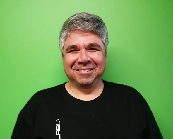
Tim Uckun’s resume is so huge it’s hard to believe he lives in rural Whakamarama, just north of Tauranga, but he does, while also working for the Centre for Space Science Technology (CSST), as director of data and analytics.
He’s an ex-US military data scientist, an angel investor, and has been involved in multiple startups as founder, shareholder and employee. He’s grown all of them at double and triple growth rates on the way to their exits.
With considerable experience in large enterprises with thousands of employees, Uckun has built up multiple IT teams using different technologies here in New Zealand, Australia, Japan, Turkey and the United States.
Next week Uckun will help participants taking part in GrowPlenty, a Techweek Tauranga workshop to explore the future of food in New Zealand. He brings extensive big data experience to the event, including data warehousing, business intelligence, fast data ingestion and real time analytics, and leveraging cloud infrastructures to achieve highly available and auto-scaling deployments.
“I’m inspired by the opportunity to work out how using digital technologies, combined with sensors, drones, planes, low and high orbit satellites can aid New Zealand industry and the public at large, and help us and others care for our environment,” Uckun says.
An area his team at CSST are working on is soil moisture research, using lidar, a remote sensing method, based on the same principle as radar but using lasers, used to examine the surface of the earth. They’re asking what water looks like from space.
“It’s important for farmers. How can you tell where the water is? A lidar scan can help, photography can do some of the work. Combining the two technologies and infrared supplies different data,” he says.
So then the question becomes – how can we use that information in a useful, tangible way?
“Can it be applied to other things – the building industry for instance? Processing all of those different data ranges – in the case of an earthquake or a flood we can understand better what’s happening and put these technologies and data models into real-time emergency use for response,” Uckun says.
“It can be used in planning – after an earthquake has the ground sunk or risen? Is it going to change the way the water flows and is distributed? Finding out those things fast can help our agricultural industry.”
Then there’s the entrepreneurial side of it, too, Uckun says, which is why he’s involved with Venture Centre, one of the organisations which created GrowPlenty.
“We need entrepreneurs to develop and run the business models to pay for more of the research, to develop it, and then sell the data to enable more research. There are many, many, many opportunities,” he says.
“There’s lots to do, and lots of people are needed to do it. We need to explain, and inspire people to take the new roles, start the new businesses that are being enabled by tech. That’s why I’m going to be at GrowPlenty.”
- Head here to find out more about GrowPlenty and to register for the workshops Uckun is helping lead.


